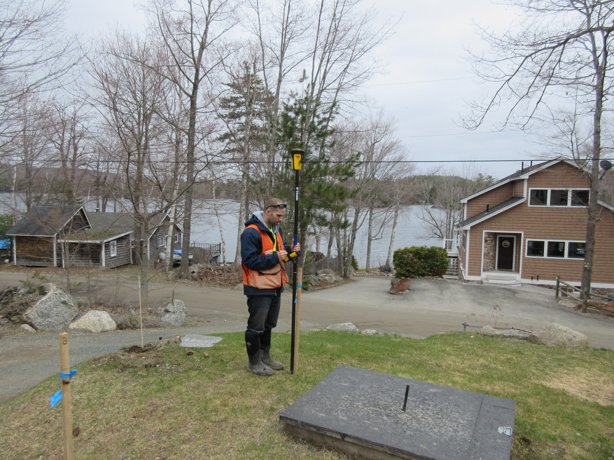
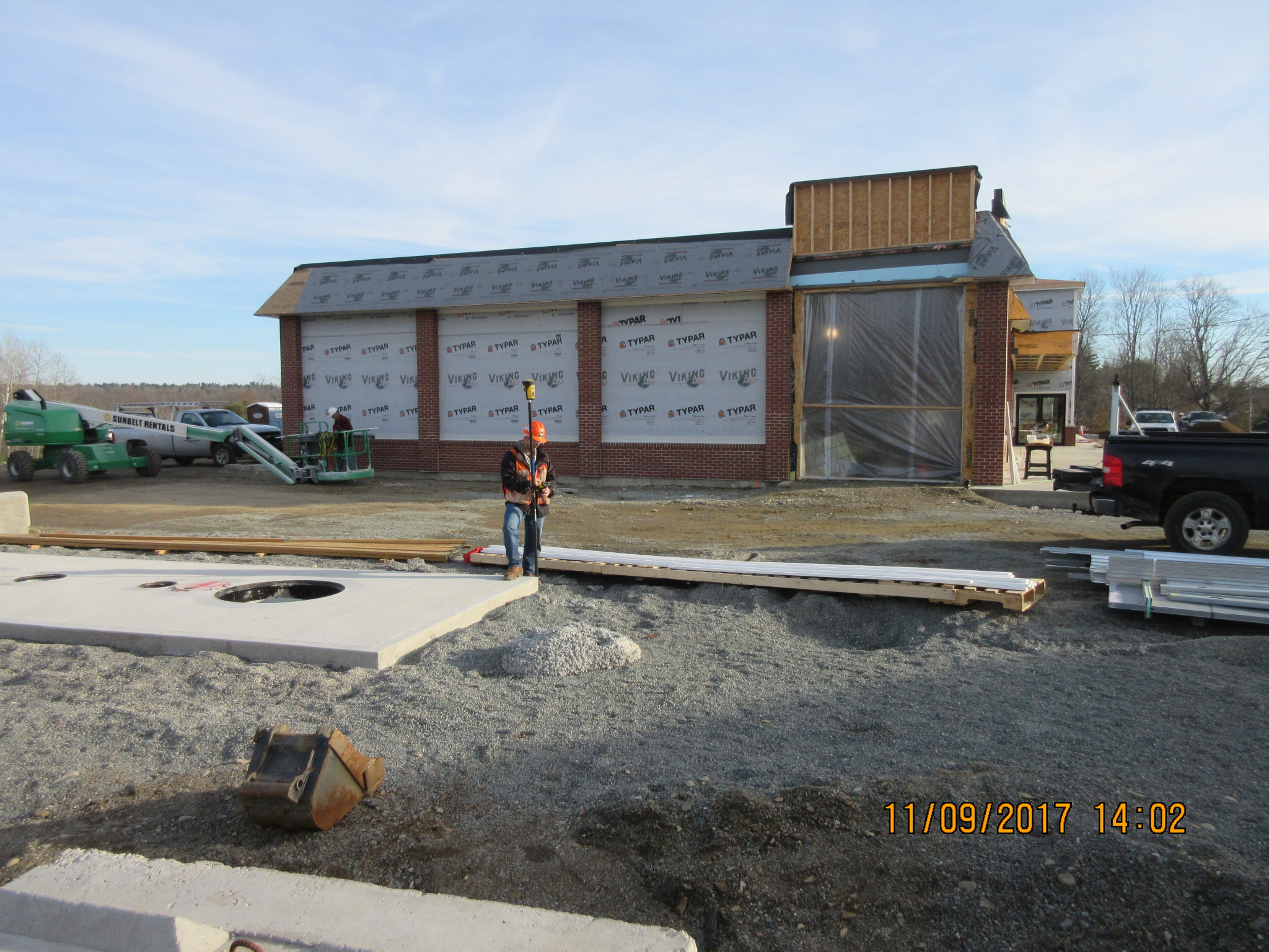
We provide Global Positioning System (GPS) mapping of your site’s features, including protected resources, soils, existing development, etc. that can then be used to properly plan and permit your project. We use the latest GPS technology and equipment and have capable staff to process and use this data to create detailed maps for your project’s planning.
We use both AutoCAD and GIS based programs to generate maps by overlaying our field data on to various base plans, depending on their availability, from a typical boundary survey to an aerial photo or sketch from a tax map. We have long-standing relationships with numerous land surveyors and civil engineers state-wide with whom we work together to produce the base maps you need to move forward on your project.
Below are examples of the services that utilize GIS/CAD and/or GPS mapping:
Offsite Review of Site Features, Protected Resources and Site Selection
Compilation of Published Mapping for Preliminary Plans
Onsite Mapping of Site Features and Protected Resources for Site Plan Creation